Point transformation
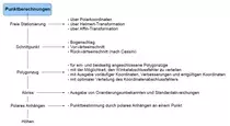
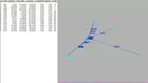
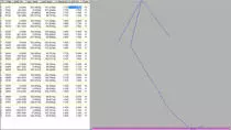
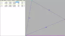
BBSoft® point calculation ETRS89/UTM expands the field book interface of the basis module by survey-technical mathematical methods and instantiates the change of coordinates from Gauß-Krüger to ETRS89/UTM. The calculated measuring data can be directly imported in the CAD or field book to continue there with the analysis. BBSoft® supports different geodesic mathematical methods.
Further features:
- famous measurement device manufacturer are supported (e.g. Trimble, Leica, Topcon, Sokkia, Geodimeter and more)
- free positioning (via polar coordinates or Helmert/Affin-transformation)
- intersection (arc calculation, forward insection, backward insection (by Cassini)
- station abridgement (output of orientation unknowns and of standard deviation is possible)
- polar addition (point determination by polar addition to a well-known point)
- traverse (for one-sided and on both sides connected traverses)
- traverse (with the possibility to distribute the angle exclusion failure)
- traverse (with output of temporary coordinates, improvements and final coordinates)
- traverse (with optional distribution of the coordinates exclusion failure)
- transformation constants and standard deviations are listed in the lists output
- you can intervene manually upon the angle exclusion failure and the error limit
- there is the possibility to execute different reductions, as well as other deviations
ETRS89/UTM The so far used Gauß-Krüger-coordinate system is replaced by the European terrestrial reference system ETRS89 with the Universal Transversal Mercator (UTM)-illustration. Background of this change is a uniform and official geospatial reference, which becomes effective transnational. BBSoft® makes use of the worldwide deployed Ntv2-transformation model (National Transformation version 2) for transformations. This takes place by default with the nationally valid BeTa2007-grid file from the AdV for the transformation of geotopographical data.
required modules: BB-VGR, BB-VPKB


