Water planning
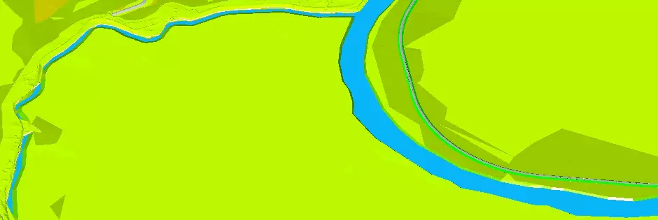
The water planning is used for the observation and implementation of all geomorphological and water-ecological fundaments. Under the hydraulic, hydrologic and ecologic aspects waters in Germany are analyzed, observed and planned according to the EU-water framework directive. It is possible to conduct environmental sustainability studies on the just mentioned fundaments, to observe or to evaluate the development of watercourses or to build a biotope cadastre.
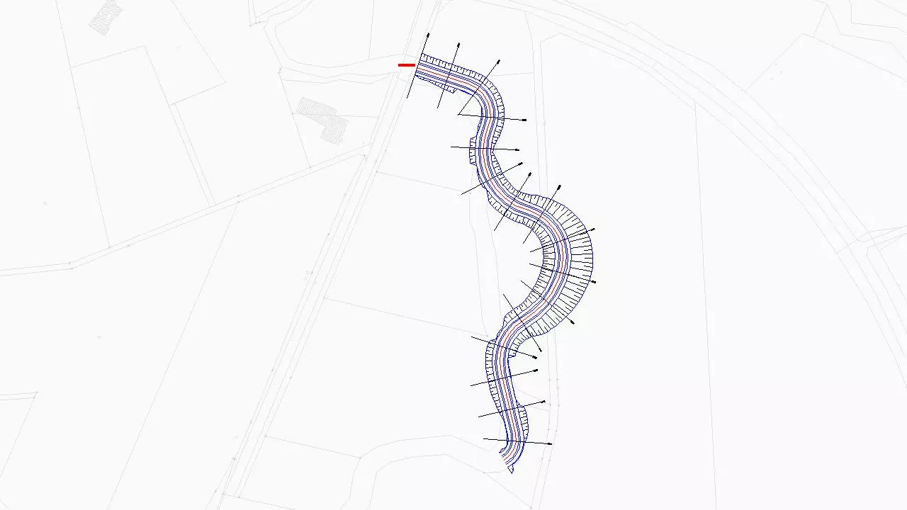
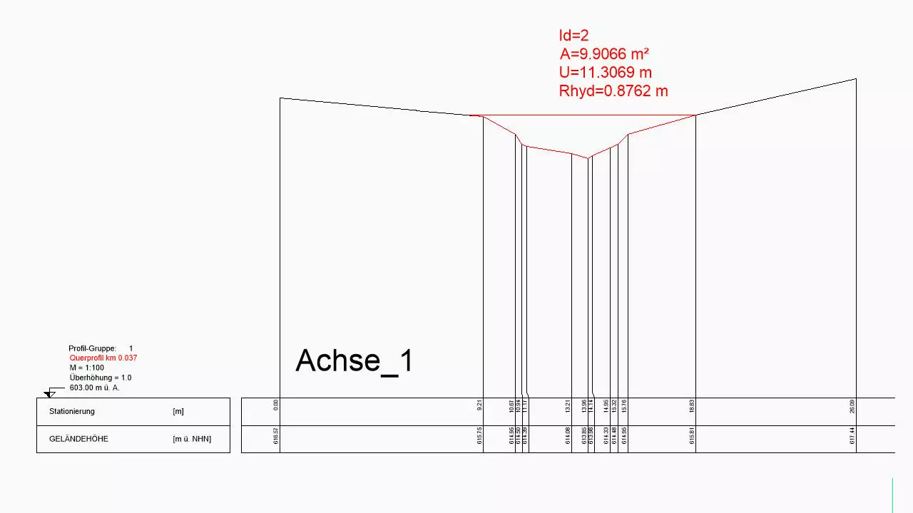
The civil engineering software BBSoft® is a flexible tool, which is in total accordance with the requirements of a water-/dike planning and the surveying of a river. The software offers you the opportunity to observe the development of waters and to conduct the maintenance planning as well as the renaturation of watercourses. The water planning is composed of the modules dike planning and surveying of rivers, which make it possible to plan dikes and flumes as well as to generate automatic profiles of courses of rivers.
Specific adjustments for the fields water development, planning of water courses, river engineering and the planning of dams are also implemented in the software. Additionally there are options for displaying of flood plaines, flooded surfaces and filling or rather excavated areas.
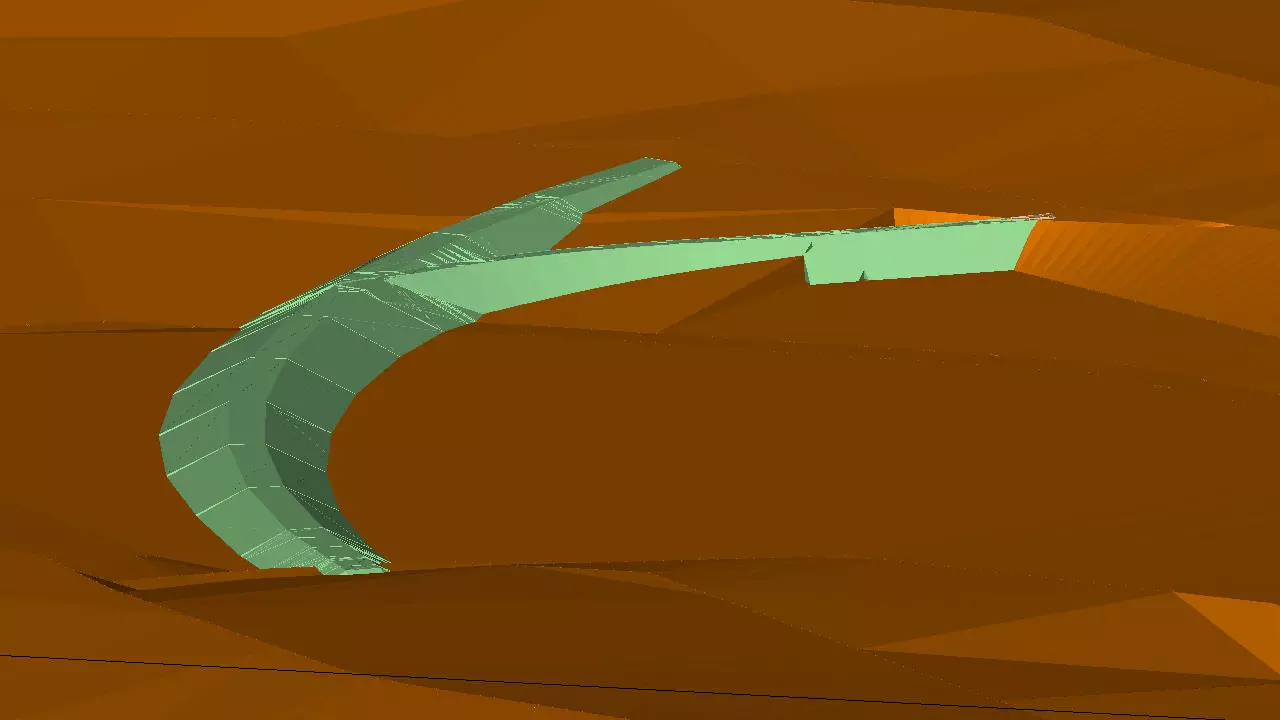
BBSoft® makes it possible for you to plan dam bodies interactive, to generate longitudinal- and lateral profiles and to export masses.
The surveying of a river serves for the observation of all with the waterway connected important parts, like bridge constructions, vegetation, sewer inlets and weires. Furthermore water tables and historic water levels could be illustrated in the profil.
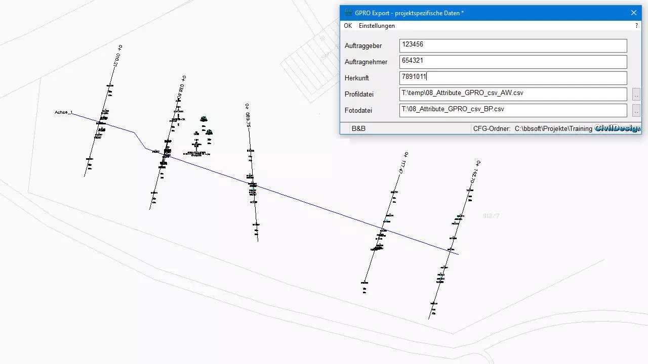
The import or rather the export of DXF™/DWG™, LandXML and the REB-conform interfaces belong naturally in the same place to it. It is possible to transfer these results to hydraulic calculation programmes (Jabron, Rehm, WSP-WIN, WSP-ASS).
required modules: BB-VGR, BB-VSTR