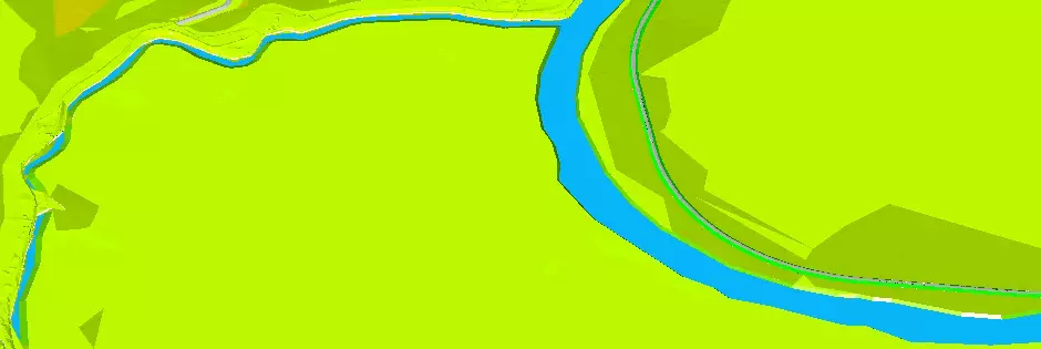
River surveying
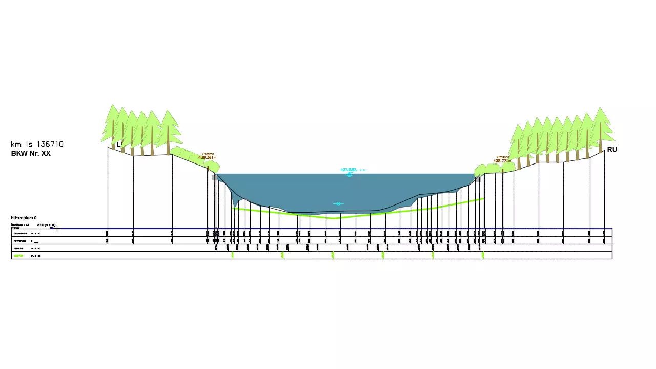
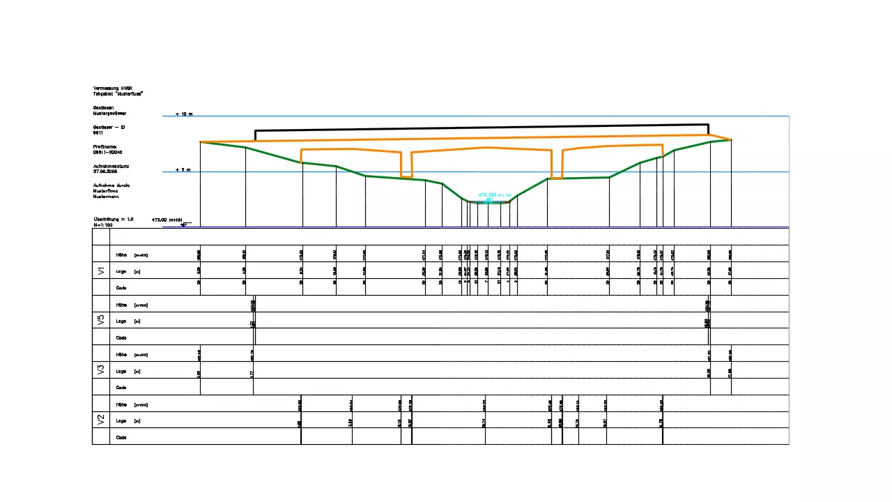
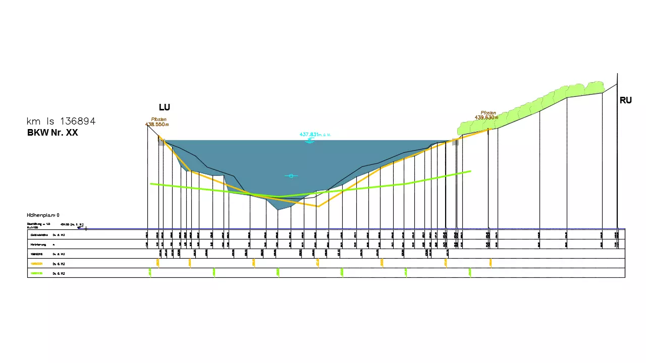
River surveying is used for admittance and continuance measurement of waters. The civil engineering software was developed in cooperation with the LUBW (Regional office for environment Baden-Württemberg) and the BAFU (Federal Office for environment, Switzerland). The applications are directed especially at the surveyors who record and analyze a river water body-specifically and at hydraulic engineers as precondition for further calculations. Surveying data is available as basis, which was recorded stationary and which can be provided with up to three different codings pro measuring point . The user can very easily determine the appearance of his symbols by size, angle, distance as well as his labelling, briefly, he can determine the entire presentation of his obtained data in the profile and he can design his plans individually quite comfortable .
Further features:
- multiple codings for vegetation and subsoil
- profile with for yourself defined grid
- processing of sonar recordings
- representation of the high tide mark, of crests, bridges and barriers
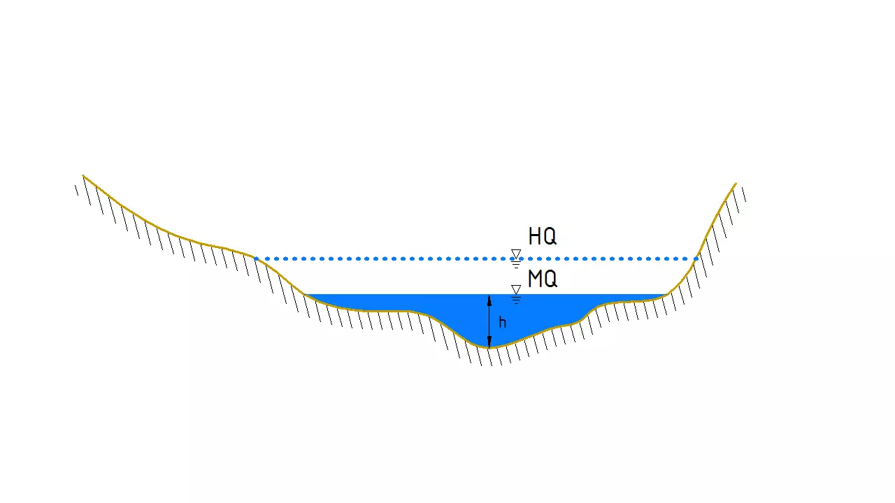
- automatic marking of water level height
- evaluation and representation of historical profile measurements for Switzerland
- evaluation and representation of minimum clearance outline profiles for Germany
- data exchange by GPRO and DA66
- via GPRO-export longitudinally accompanying structures can be exported as single points
- output of lists.
required modules: BB-VGR, BB-VRIV, BB-VSCH