Surveying
Surveying comprises the inclusion of important parts in civil engineering and serves here as a basis for entering, organization, administration and visualization of geospatial data.
Further features:
- record and document measuring data tacheometrically, photogrammetically, by the positioning of satellites or by laser scanning
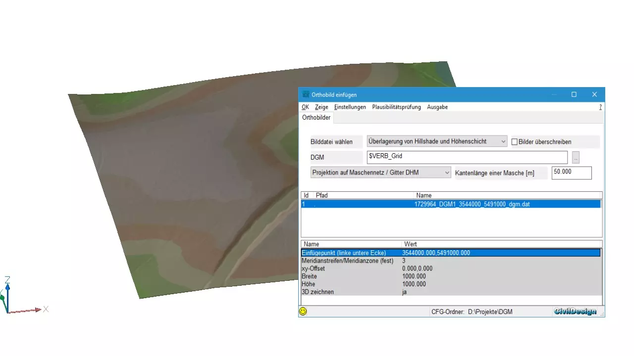
- measuring data (with location and altitude information) can be displayed directly in the CAD in 2D or 3D
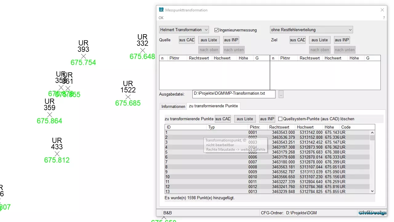
- importing and processing of measuring data
- geodata is administered in an own GIS-solution (CivilDesign®)
- common interfaces, like e.g. Shape, XML, KML, ISYBAU and DWA are supported
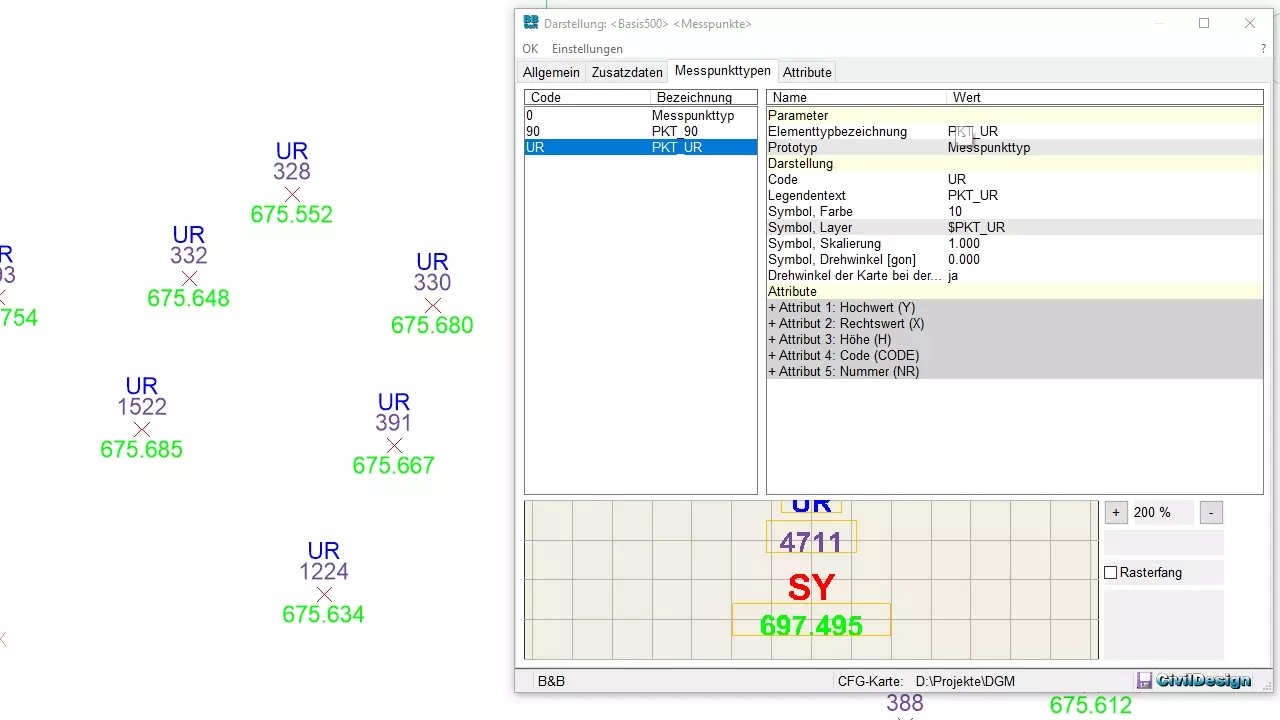
- consistent editing and graphical differentiation of measuring points
- im-/export of DXF™/DWG™ and REB-conform interfaces are contained