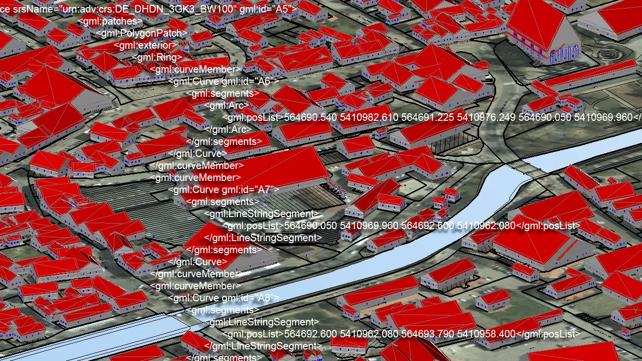
NAS
The standard-based exchange interface (NAS) was defined in line with the introduction of the geographic information systems AFIS, ALKIS and ATKIS (AAA-model). This data interface serves for the exchange of geo data. Henceforth the until now accepted data formats BGRUND and DFK are replaced through it. The BBSoft® NAS-converter translates the XML-based property cadastre in CAD- and in database utilizable files. The extensive data model of the BBSoft® solution contains an expansive conversion catalogue.
Import
- different requirements of the federal states are supported
- possible adjustment of the ALKIS-import to the office standards of the user
- an import of several XML-files in only one pass is possible
- huge amounts of data can be managed quickly and clearly in a GIS-database.
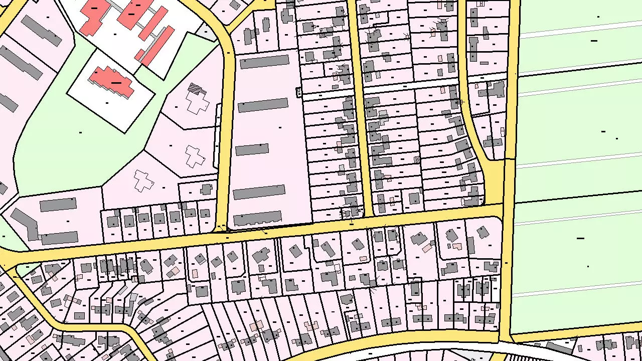
DXF™/DWG™ output
The NAS-converter offers, besides the possibility to generate GIS-data, also the automatic generation of a DXF™-location plan.
- the conversion generates geometric objects of points, lines, surfaces and texts
- the presentation occurs on different layers, according to the specialised meaning
- the use-related filling of the surface can be determined by closed polylines (buildings or parcels of land)
- a professional implementation of the symbolism of points, including bench marking and quality level, is possible.
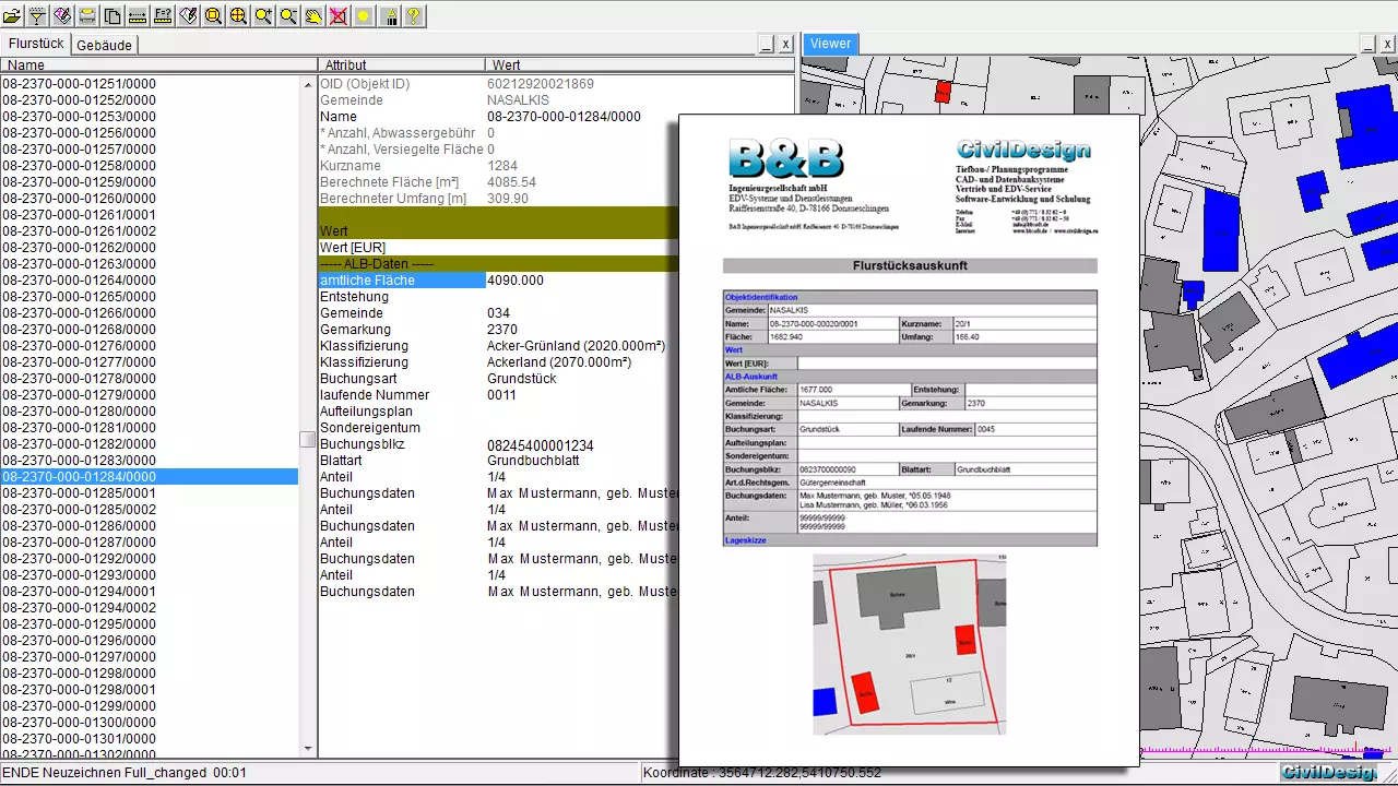
Adoption in the Oracle®-database
It is possible to take over the ALKIS and ALB data in the Oracle®-database through a particular file format.
The data can be represented in the BBSoft®-viewer and/or in the CAD and you will receive access to the ALB-data, belonging to the object, very easily.
Further features:
- NAS-export of building points, ridge lines and building surfaces (based on MiA-GÜVO)
- the implementation is adapted to GeoInfoDok 6.0, 6.1, 7.0, 7.1 and tested with the official test cases of all currently delivering federal states
- user-specific presentation methods are given, like e.g. free layer- and symbol assignment
- presentation of watercourses and parcels of land with flow arrows and belonging lines
- included libraries with a variety of of symbols and presentation options
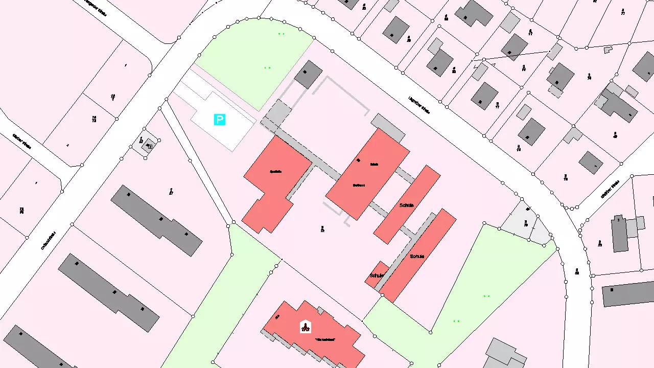
- preset hatch patterns for better determination of main- and adjoining building (e.g. depending on type of use)
- presentation of parcel boundaries according to type of use
- correct presentation of islands of parcel of land
- adoption of posting data
- adaptations and corrections, which occur continuously on the NAS-format, can be obtained online
- adoption of boundary- and topographical lines in the database
- differentiation for limiting-, recording-, covering- and other points. Separate marking of trigonometrical points
- presentation is controllable for point type, for data origin and for the kind of bench marking
required modules: BB-VGR, BB-LGGR, BB-GFKAT, BB-GEGR, BB-VNAS