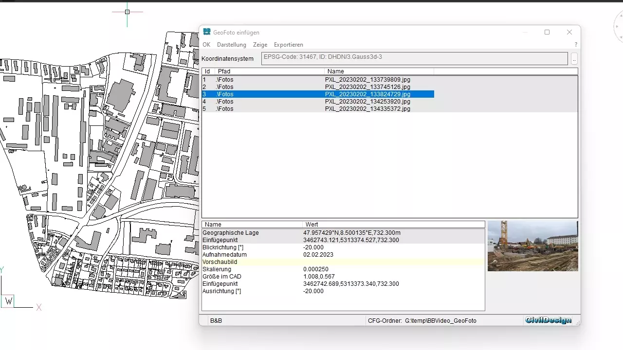
geo photo
The import of GeoPhotos makes it possible, to deal efficiently with stationary photos in the CAD.
Further features:
- images with location information can be imported directly as symbol or with thumbnail into the CAD and illustrated there as well
- photos can be imported with the geographical location of the location
- corresponding coordinate systems for transformation into the Gauss-Krueger or UTM-system are available (for Germany, Austria and/or die Switzerland)
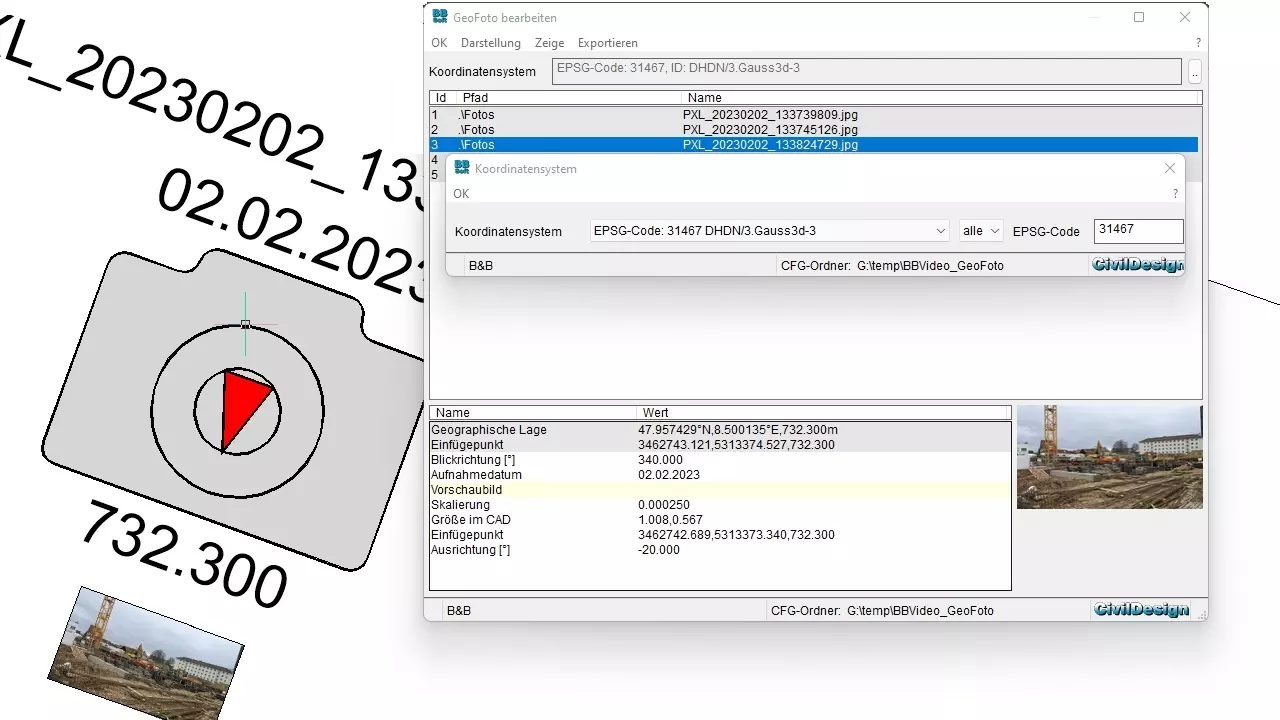
- image position can be shifted in alignment direction or completely free
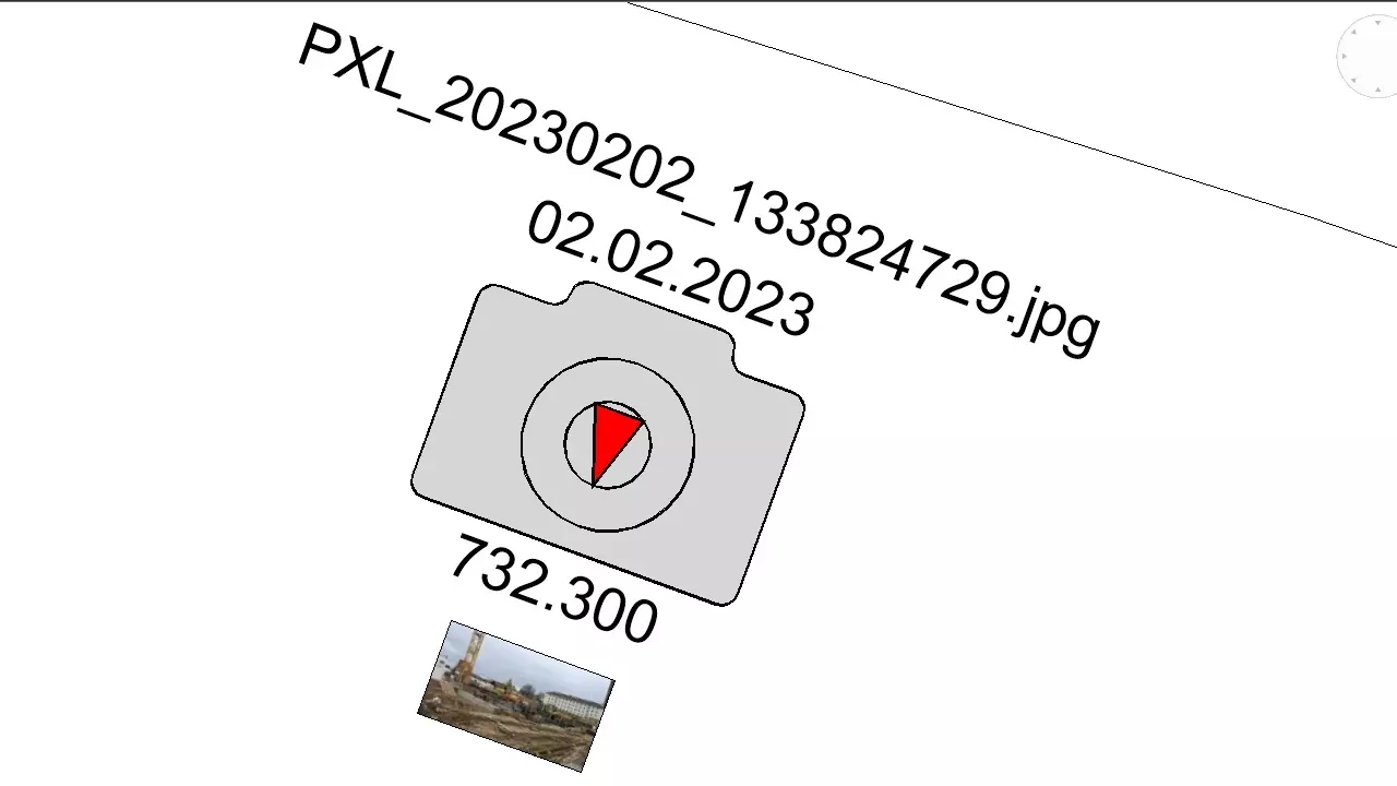
- at the symbol the viewing direction of the camera is considered (a red arrow marks the viewing direction)
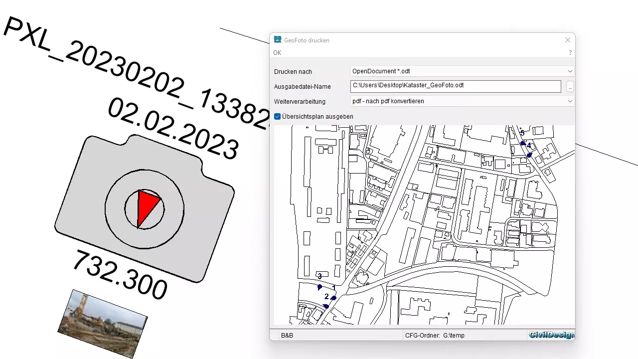
- printing of protocol output with general map is possible
- image name, date (of taking the image) and -height and the appropriate coordinates (geographical location) will be displayed
- image preview via hyperlink to linked viewer for an enlarged view
- multi-editing
required modules: BB-VGR