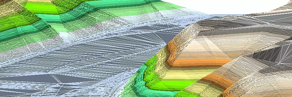
Terrain section
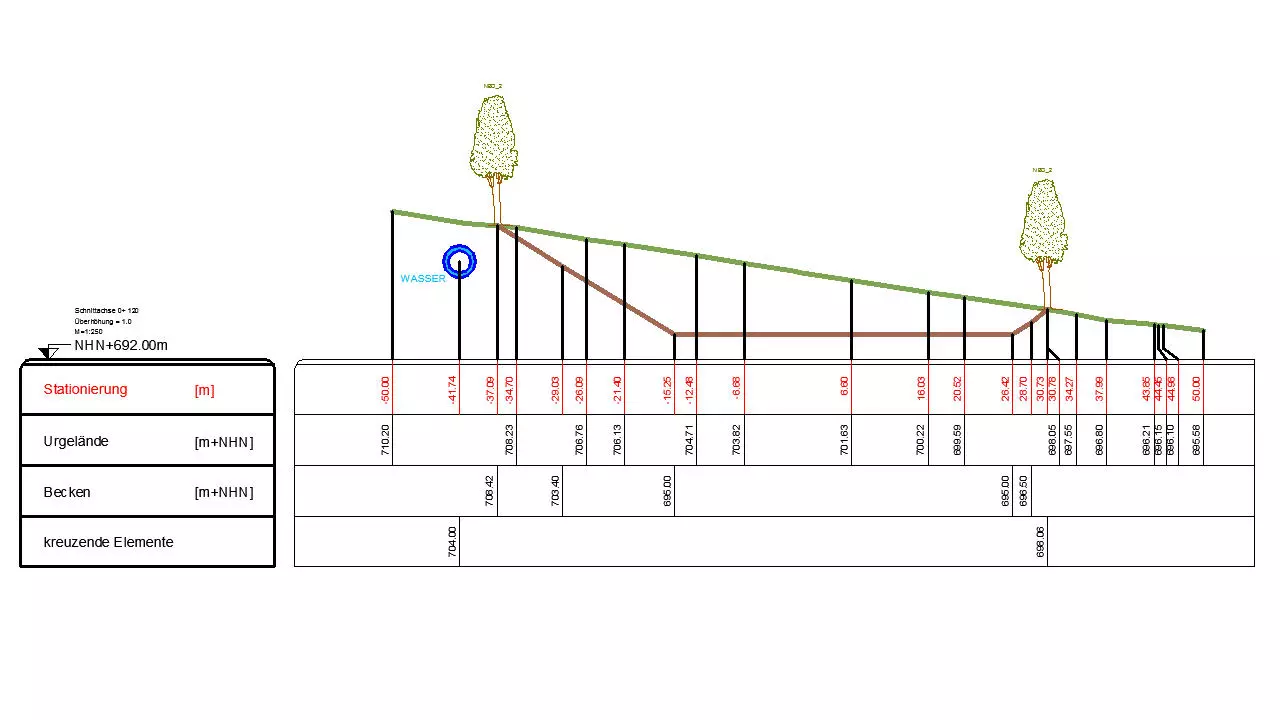
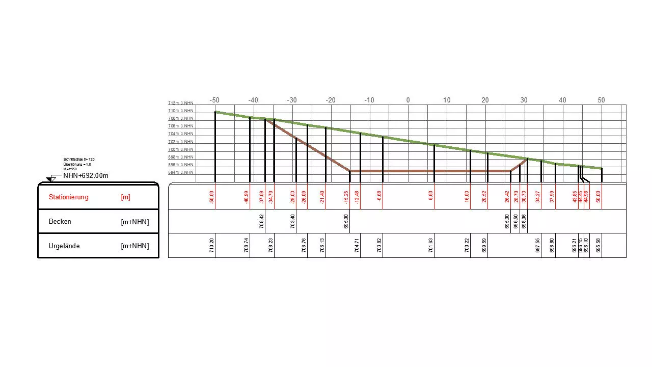
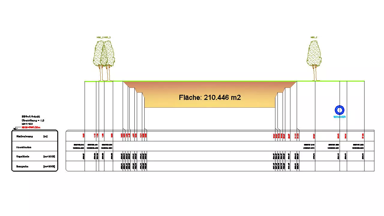
Longitudinal- or rather cross-sections can be generated with the terrain section of BBSoft®. These illustrate one or several surfaces as well as cutting elements. The terrain section mainly exemplifies the course of the ground along an alignment.
Further features:
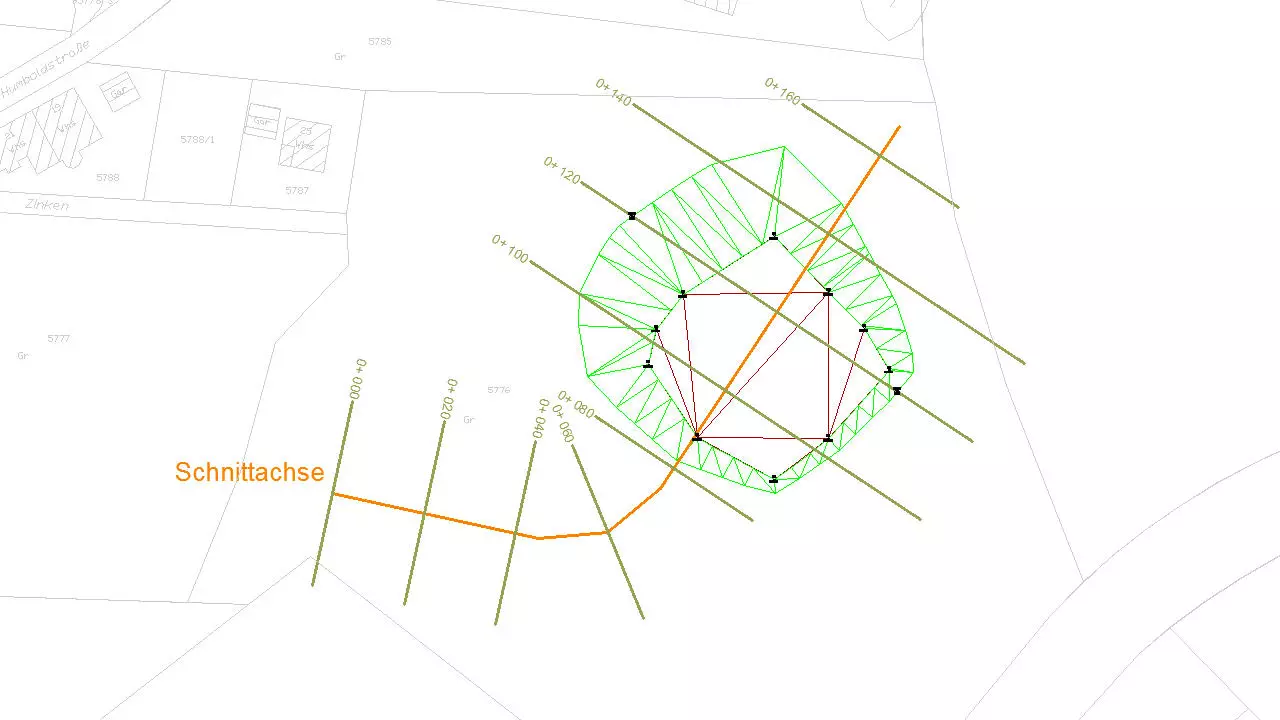
- creation of a section course: either via input of beginning-, intermediate- and end coordinates or via mouse-click
- a line is the default for the section course: via a special command this can be rounded after creation
- the drawing direction of section corresponds to the stationing direction of stations: with the help of a special command you can turn round the stationing
- via element-command a shifting of the axis (togehther with the stationing) is possible
- section-templates can be adapted individually: the layout of the section (head and positioning of texts) is adjustable
- it is possible to insert measuring points into an already drawn/existing profile
- the difference height to another DTM can be displayed in a separate string
- measuring point numbers and codings can be displayed in separate strings
- presentation of crossing 3D-solids in the longitudinal section
- a grid with electable distance can be displayed for better orientation
- the predefinition of not vertical and asymmetrical cross-sections is possible
- a reference horizon can be determined as reference line, which is then valid for all profiles
- drawing of profiles with or without superelevation
- the subsequent editing of drawn profiles is easily possible
- settings for every section are saved related to object
- the stationing inscription can be provided with a background color
- the highest and the lowest point of a DTM can be determined in the section: these emerge as crossing elements
required modules: BB-VGR, BB-VDGM, BB-VSCH