Cadastre ALK/ALKIS
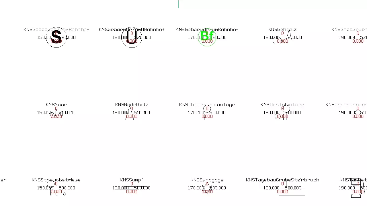
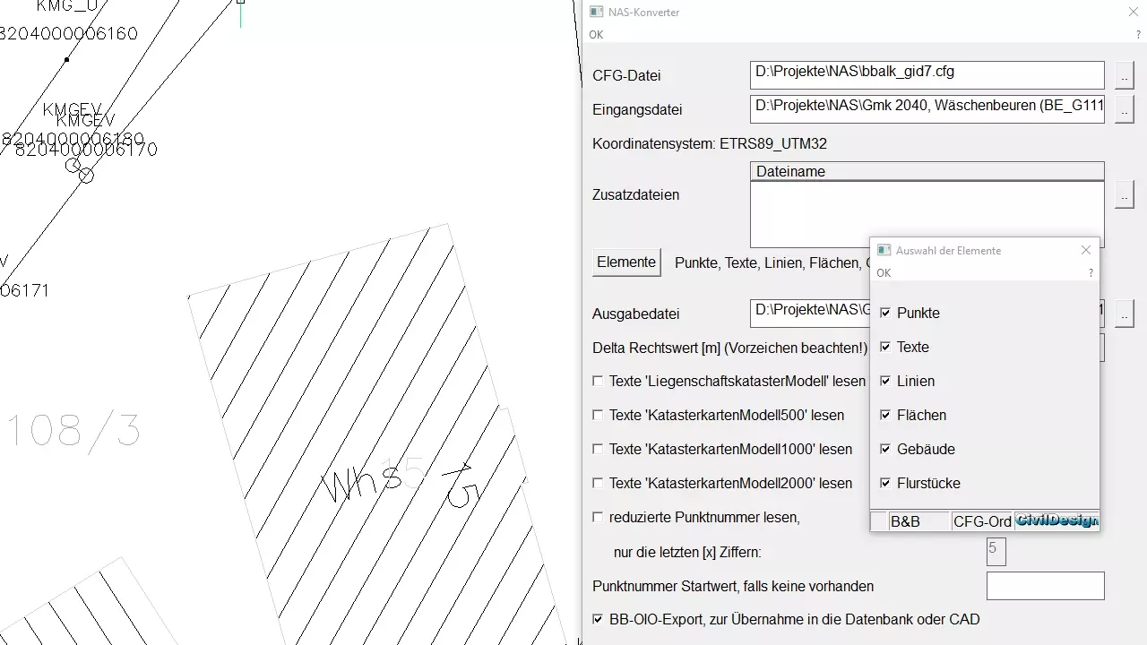
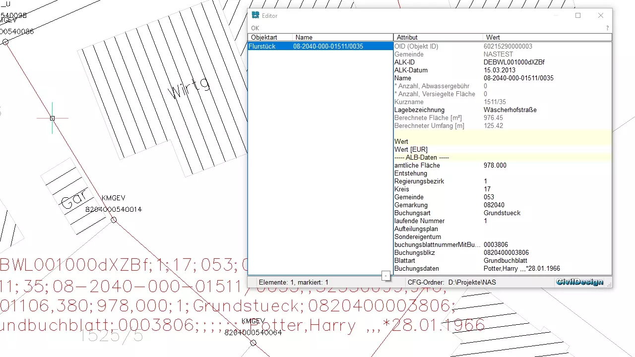
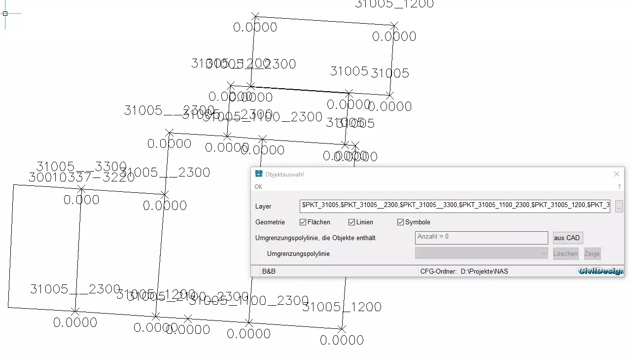
Cadastre comprises the area-wide description of all parcels of land of one section or of one land. The geometrical position, the structural properties, the kind of usage and the size are specified in a descriptive part (ALB) and in charts (ALK). The civil engineering software BBSoft® makes interfaces like NAS available, for the conversion of the cadastral data of the land surveying offices.
Further features:
- Missing parts of the cadastre out of analogous charts can be added afterwards
- The cadastre can be kept permanently up-to-date through the continuance data
- BBSoft® offers you a GIS-database import for importing property data out of a geographic information system (GIS)
- The GIS-Viewer makes it possible to look at your technical data, to print plans according to scale, to serach for characteristics or to measure surfaces and distances.