General
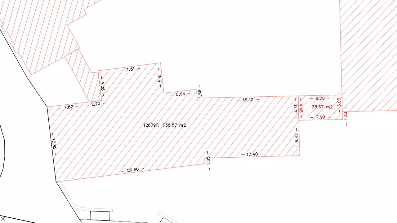
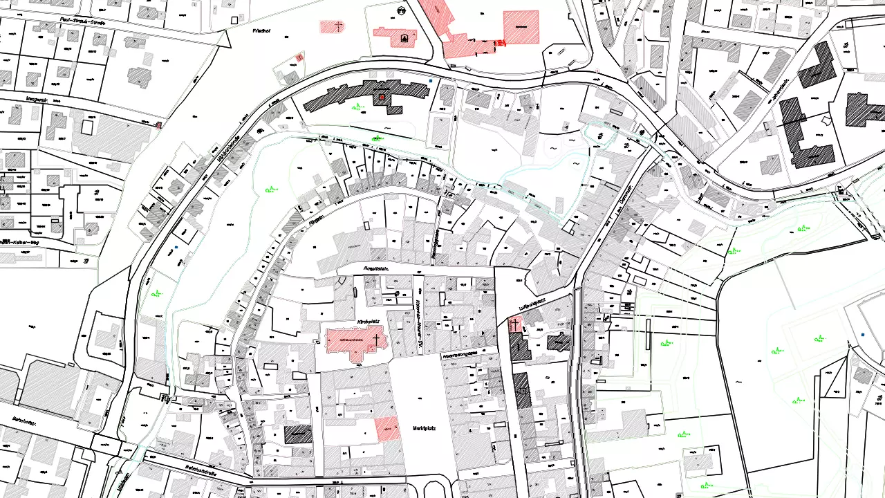
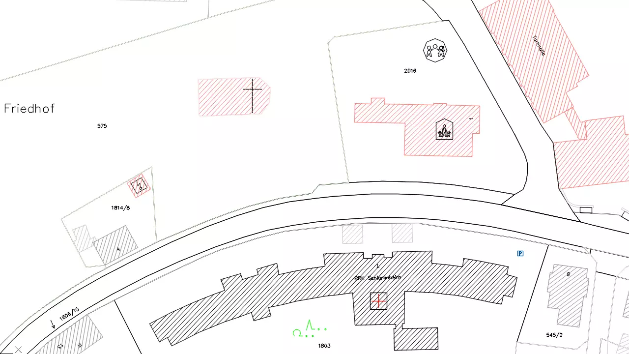
The stocktaking is one part of surveying. It deals with the acquisition and the documentation of topographies. In line with this surveyings the recordings are made during external work to make it possible after this to generate an accurate evidence of the available stock in the actual state. The digital cadastre charts of the land surveying offices are described by NAS. Stocktaking is carried out through the base module of BBSoft®.
Further features:
- The following data formats can be imported in our software: DWG™, DXF™, Microstation, NAS, LandXML, ArcView, ArcInfo, MapInfo
- Auxiliary functions enable you to design location plans individually, to digitize cadastre plans, to measure distances in 2D and 3D and to determine surfaces
- Measuring points can be adapted individually through the adequate presentation
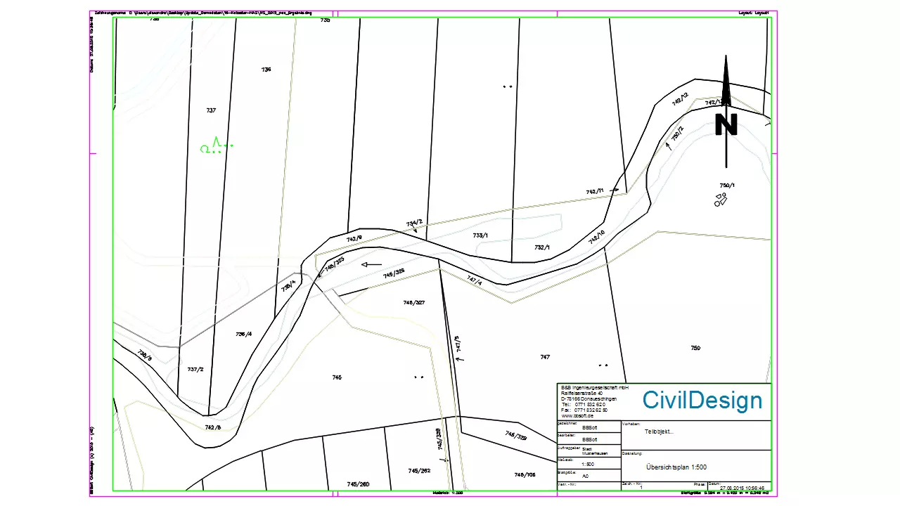
- The creation of map frames is quickly and easily possible.