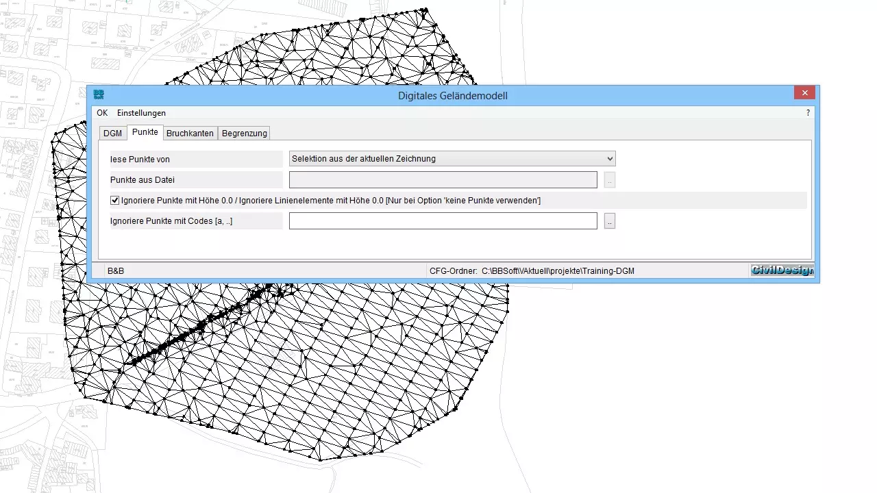
Digital Terrain Model
With BBSoft® you can unproblematically create a digital 3D-terrain model (DTM) from different basic elements, e.g.:
- from points (in a drawing or from a measuring point file),
- from points and breaking edges,
- from breaking edges, e.g. contours without points or
- from laserscan-data.
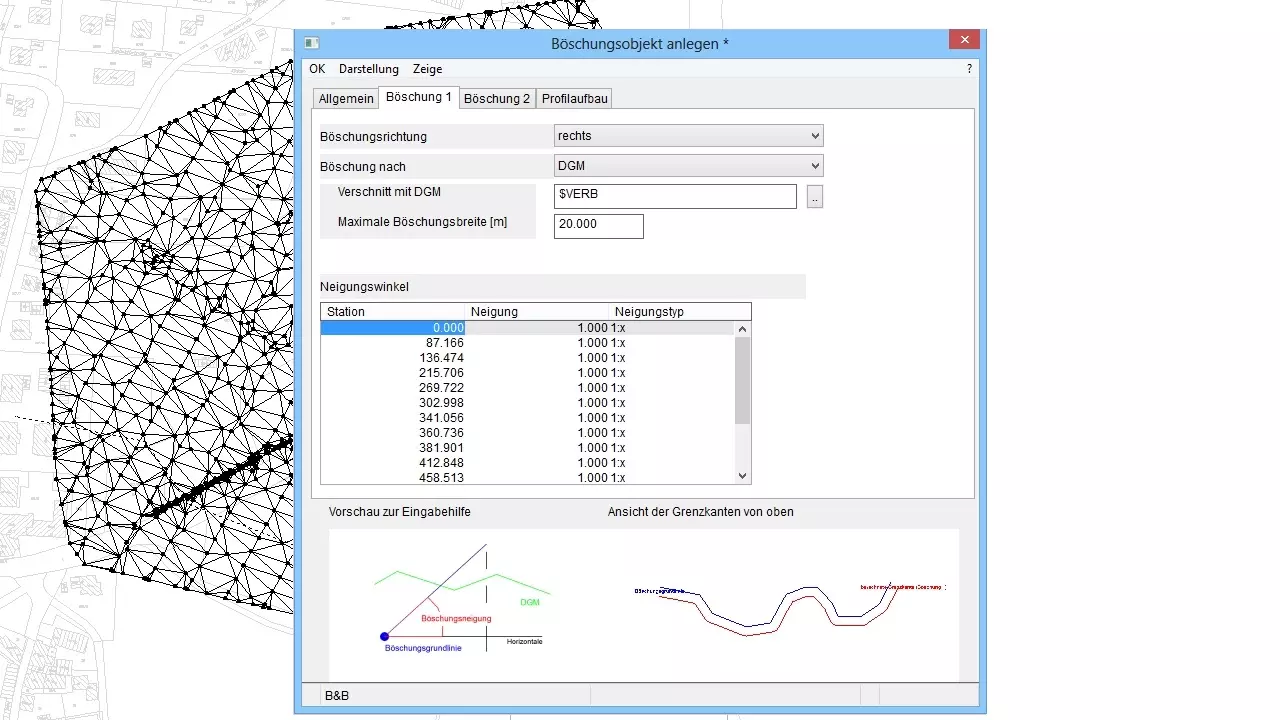
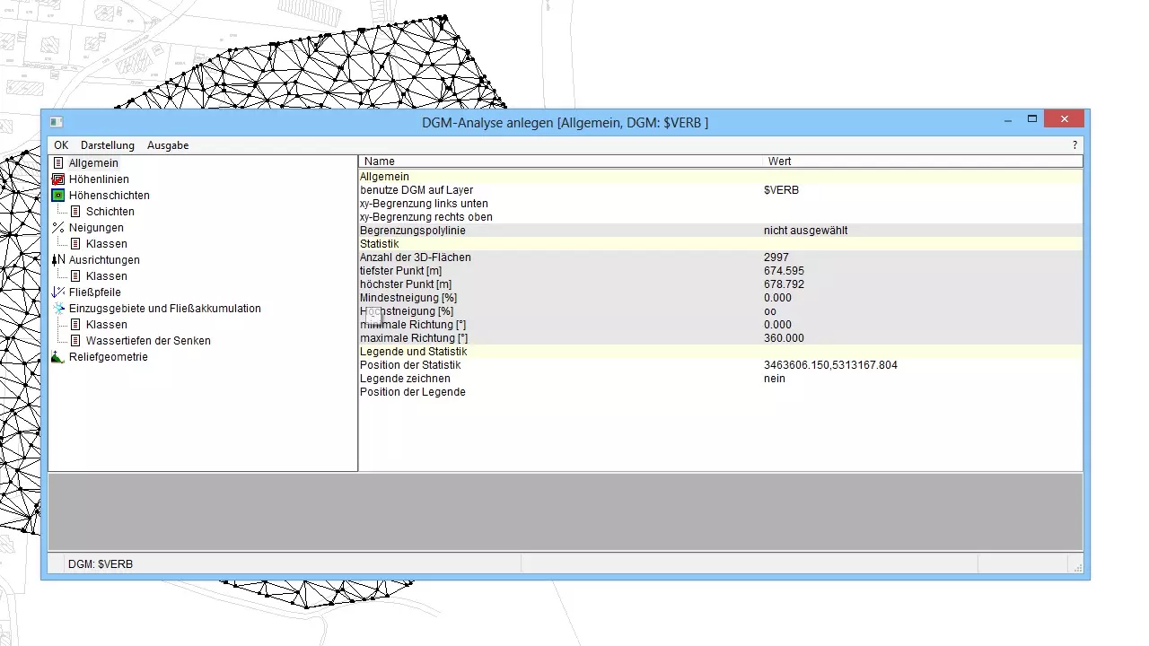
The DTM is on the one hand used for the presentation of ground levels and layers of earth and on the other hand it is used for the planning of rainwater retention basins, pits, spoil banks, water reservoirs and dumps.
Further features:
- adoption of digital terrain models from other projects
- DTMs can be easily created in a drawing or in the BBCivil-database
- if identical points exists in your drawing, the creation of 3D-surfaces is discontinued: the space between points has to be at least 1 mm in YX-direction
- in one drawing several 3D-models can be generated
- a smooth data exchange with other programs via REB or XML is possible
- out of laserscan-tile-files you can create DTMs (the data is displayed as entirety)
- with one DTM you create the precondition for further editing with contours, terrain sections or a quantity survey
required modules: BB-VGR, BB-VDGM