Tree cadastre
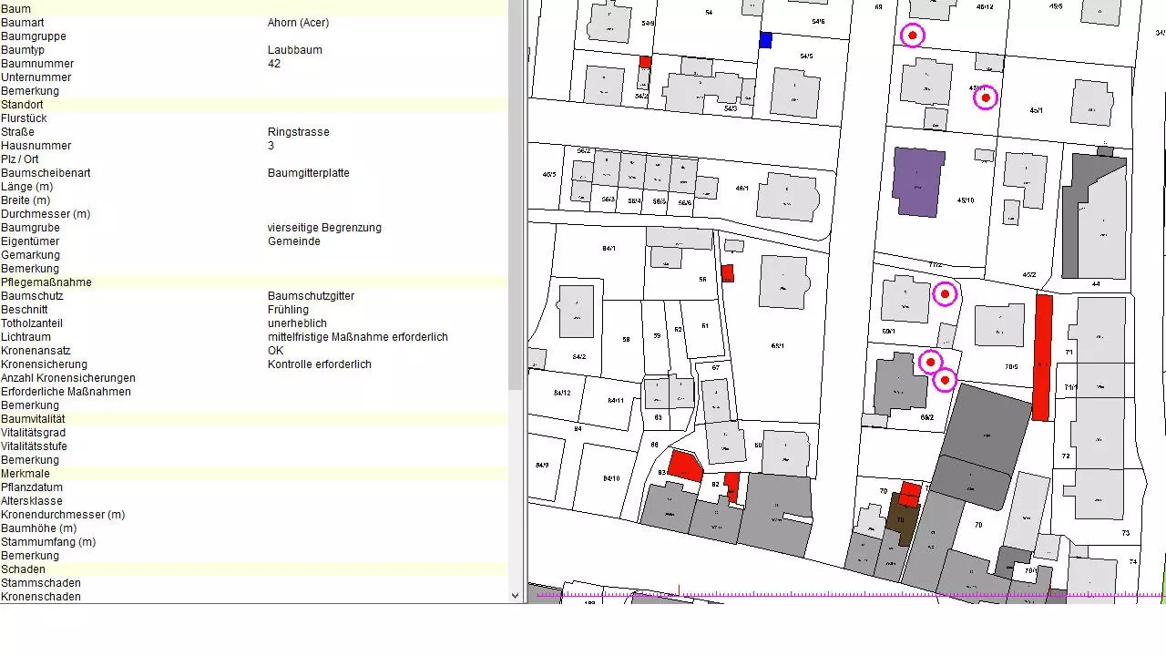
With the tree cadastre from BBSoft® you can record, manage, illustrate and evaluate punctate objects (trees). This cadastre was developed in collaboration with park commissions and enables the owners to fulfill their traffic safety obligation. In the GIS-database you can record general information about trees (like e.g. diameter, width, tree type, etc.), but also specific hints to maintenance measures, damages or regularly check-ups of stock of trees. Data can be managed comfortably and subsequent editing of recorded trees is easily possible.
Further features:
- the tree cadastre is based on the FLL - Baumkontrollrichtlinien
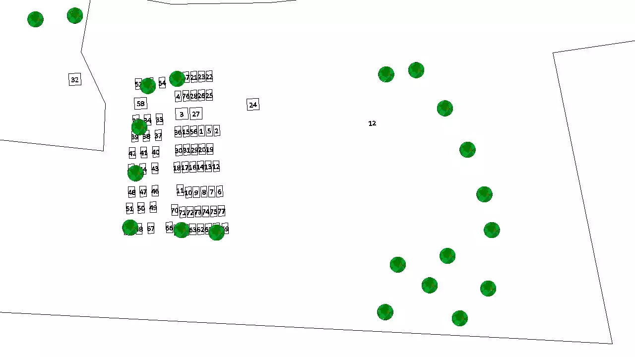
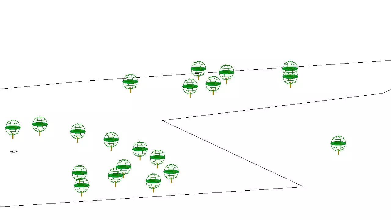
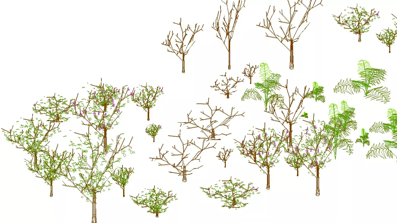
- a visually appealing presentation in the location plan with symbols for deciduous trees or conifers
- the creation of own signatures is possible
- technical data of trees can be displayed as list or in the form of detailed overviews with a picture
- for the evaluation of the amount of dead wood and of the crown of a tree it is possible to make specifications from which it is possible to deduce thereof resulting measures
- a consistent data management is given by the geographic information system, previous controls can be proven seamlessly, with the result that the traffic safety obligation can be guaranteed continuously
required modules: BB-VGR, BB-LGGR, BB-GEGR, BB-GFUMW