


LKP Ingenieure GbR
When road, sewer and terrain work together
In developing the Wasserstall-Ost industrial area in Mutlangen, roads, sewers, terrain and stormwater management had to be considered together from the very start. Across around 3.8 ha of buildable commercial land, a design emerged that connects new infrastructure with the existing conditions.
Together with LKP Ingenieure, BBSoft® was able to contribute to this development project. Key areas of the design were handled with the Road Planning, Sewer Design and Digital Terrain Model (DTM) modules. Digitally, traceably and fully coordinated.
Challenge
New industrial area. Existing infrastructure. Demanding drainage.
When an industrial area is developed, roads, sewers, terrain and drainage interlock directly. Elevations have to match, stormwater must be discharged in a controlled way and new infrastructure has to fit into the existing network.
At Wasserstall-Ost there was an additional requirement: the existing combined sewer system as well as the existing overflow and treatment structures were not to be subjected to any additional hydraulic load.
The industrial area was therefore planned as a separate system. Foul water and surface water are discharged separately. Stormwater is collected, treated and retained separately and then discharged into the Wettenbach at a throttled rate.
The focus was on a coordinated development design.
For road, sewer and drainage to work as one overall system, the terrain conditions had to be taken into account from the very beginning.
Flow directions, catchment areas, elevations, sewers and stormwater retention formed the basis of a design in which the individual disciplines are aligned with one another.
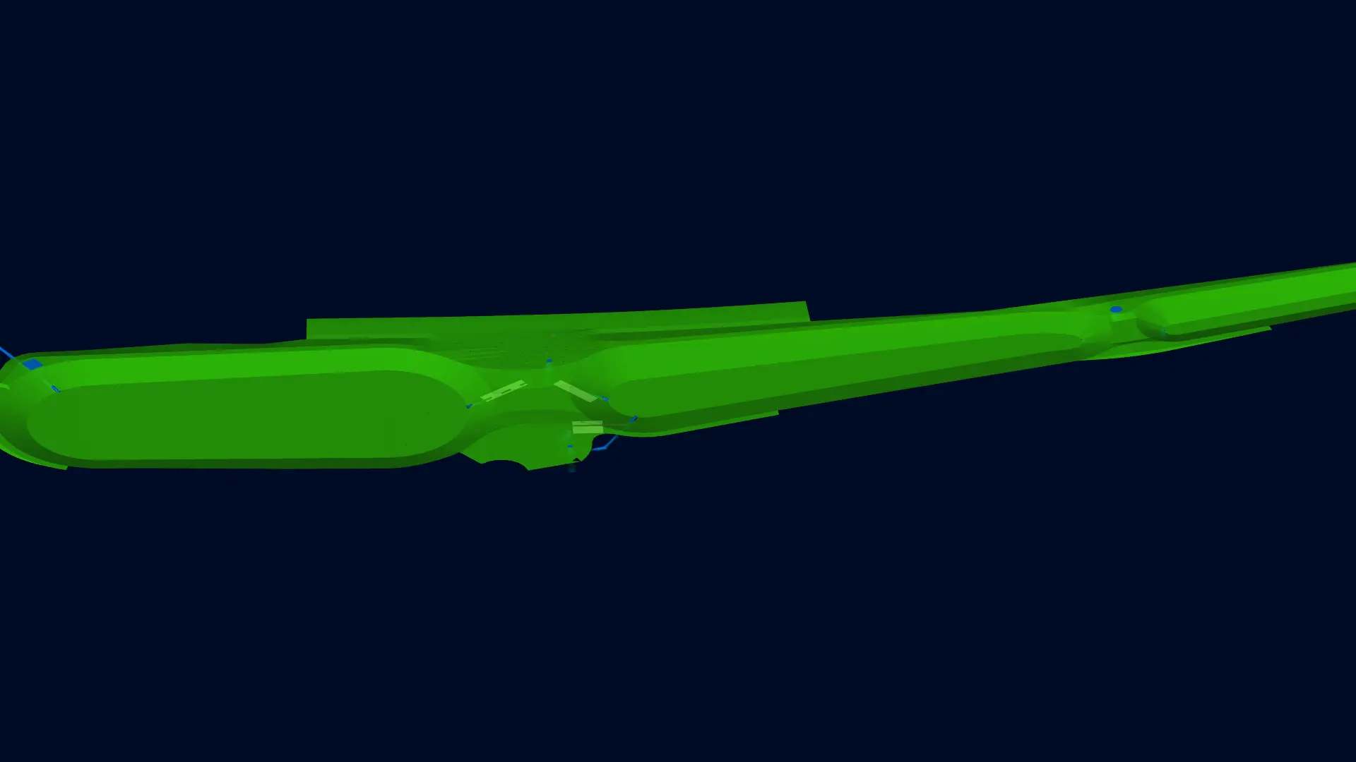
Planning Detail
Clear dimensions. Coordinated planning.
The Wasserstall-Ost development shows how many elements interlock in an industrial area:
- approx. 3.8 habuildable commercial land
- approx. 6.35 hacatchment area considered
- approx. 2.79 harunoff-effective area
- approx. 310 mfoul water sewer DN 200 to DN 315
- approx. 125 mstormwater sewer DN 400 to DN 500
- approx. 220 mfoul water pressure main OD 110 PE‑HD
- 2stormwater treatment basins
- 3cascaded stormwater retention basins
- approx. 1,320 m³retention volume
These figures make one thing clear: in development projects, the quality of the planning determines whether all trades work together cleanly later on.
Solution
Planned digitally. Disciplines connected.
With BBSoft®, the different areas of the development planning were handled digitally. The modules used were Road Planning, Sewer Design and Digital Terrain Model (DTM).
They were used to create the road and sewer designs, model the terrain for stormwater retention, determine flow directions and catchment areas, and carry out hydraulic calculations and longitudinal sections.
In a development project, the individual planning areas influence one another. Elevations, terrain, drainage and sewers therefore have to be coordinated.
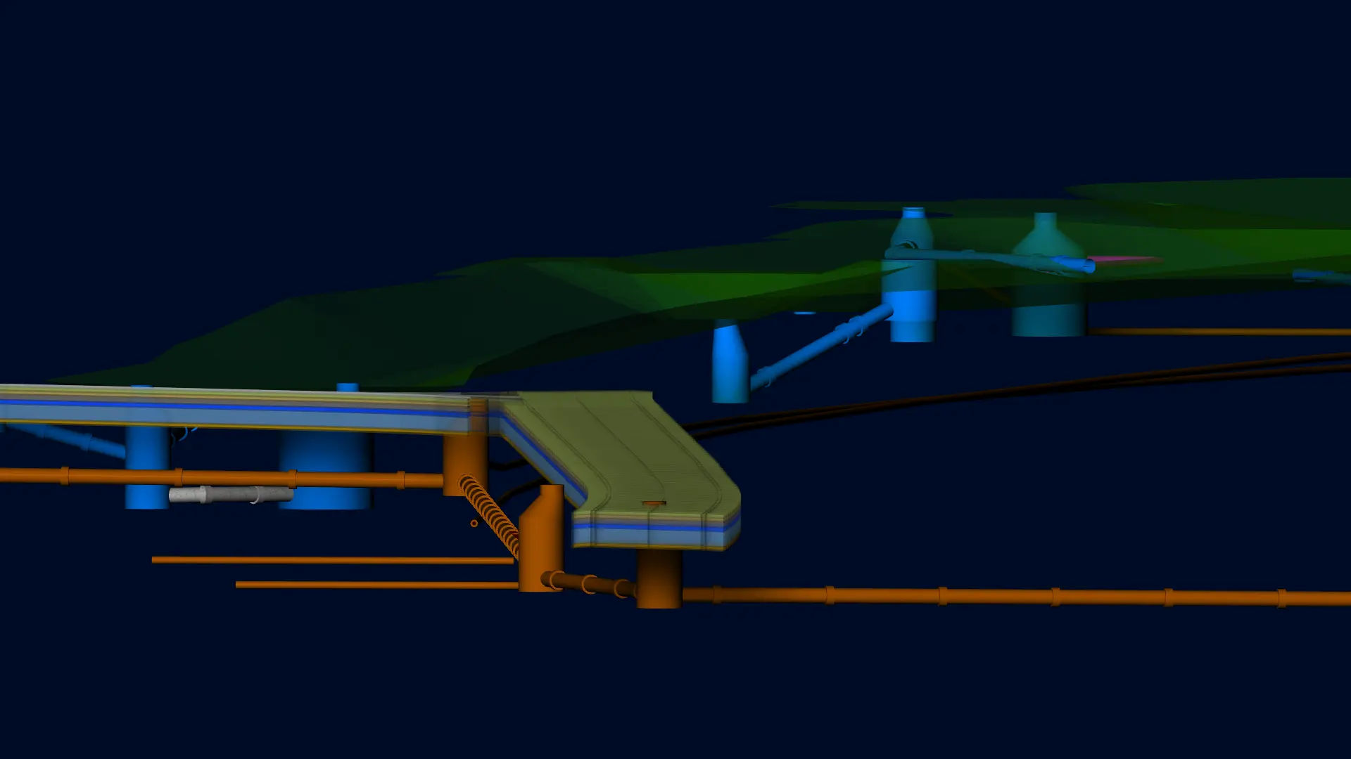
How BBSoft® supports the planning:
BBSoft® provides support where different requirements come together into a shared planning basis.
This turns individual planning tasks into a consistent basis for the development.
Voice from the Field
Planning thrives on experience.
Every site comes with its own challenges. At Wasserstall-Ost, these included the elevation conditions and the stormwater retention, which called for individual solutions.
With BBSoft®, LKP Ingenieure had the right tools at hand to turn these requirements into a concrete design.
Because no project is like another. And that is exactly what civil engineering design is all about.

LKP Ingenieure GbR
Planning becomes development.
The design of the Wasserstall-Ost industrial area laid the foundation for developing new commercial land in Mutlangen.
The project shows how many factors come together in development planning: terrain, roads, sewers, catchment areas, stormwater retention, hydraulic requirements and existing infrastructure.
Demanding infrastructure is created digitally.
Modern development projects are complex overall systems. With BBSoft®, the result is not just individual drawings but a digital basis for the coordinated work of different disciplines.
When road, sewer, terrain and drainage interlock, the value of a design that is prepared to the point becomes clear.
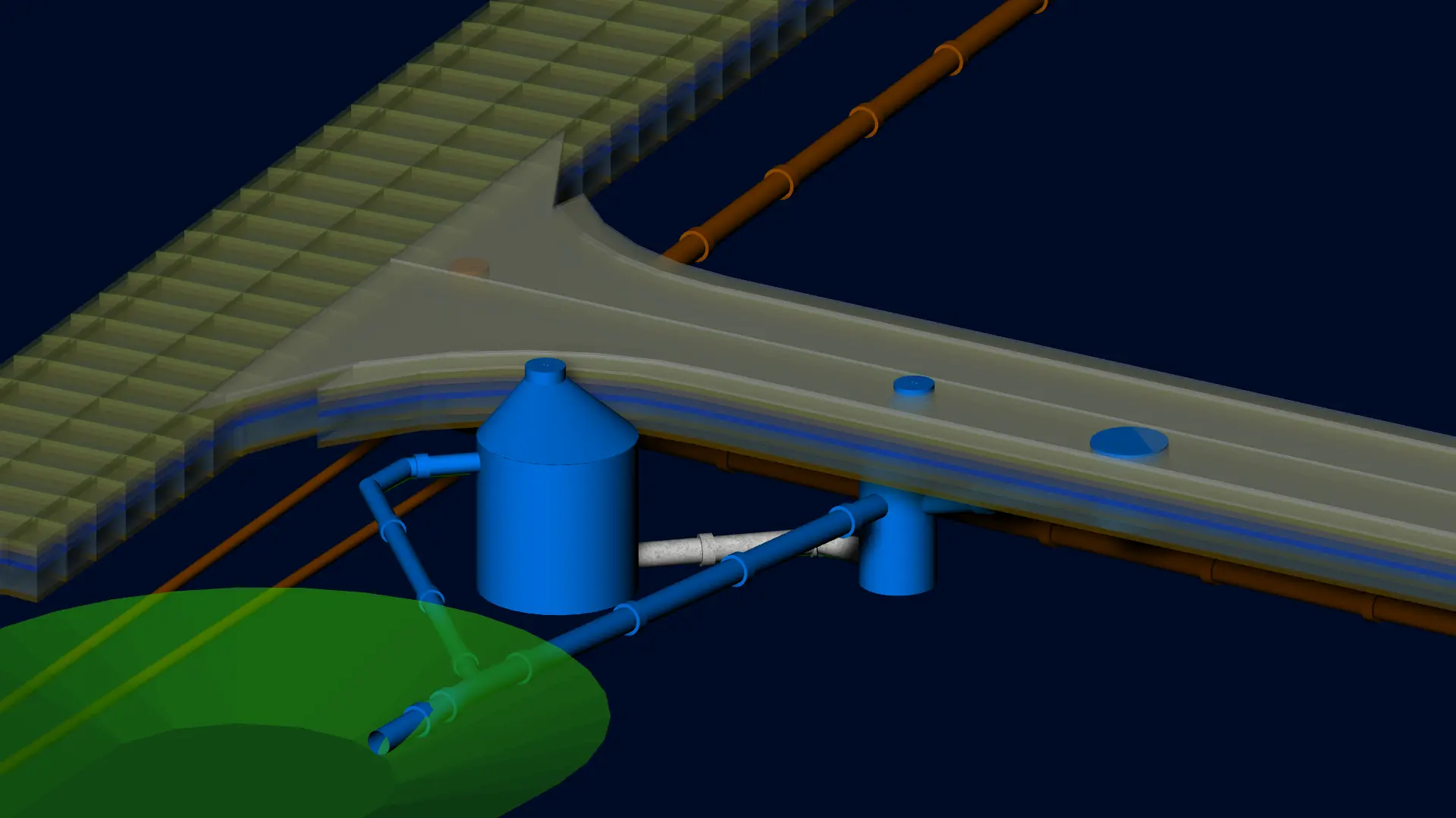
From terrain and drainage design to sewer and road. The development design for the Wasserstall-Ost industrial area with BBSoft®.


References & Project Examples
Successful Projects from Practice.
Discover how engineering offices, construction companies, and public clients use BBSoft® in real-world projects. Reference projects, certified premium partners, and experienced users demonstrate how the software efficiently supports everyday planning in civil engineering.


